Info
- Length 10km
- Height difference +/- 450
- Recommended season All seasons
An itinerary combining history and nature, entirely within the territory of Montese!
The route described here is suitable for all seasons, and is ideal for those who wish to find out more about our area, exploring its history and enjoying its natural scenery all at the same time.
The route includes paths that were part of the Gothic Line during the Second World War, and, as part of your day out, you can also organise a visit to the nearby museum to discover more about its history.
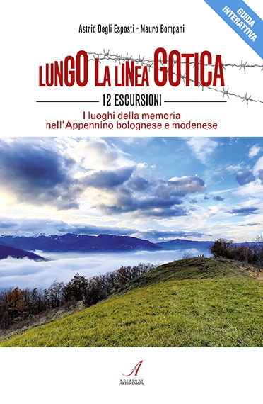
The itinerary described here is one of the 12 routes included in the book “Lungo la Linea Gotica” (Along the Gothic Line) published by Artestampa and written by Astrid Degli Esposti and Mauro Bompani, whom we thank for their collaboration.
More information on the book can be found at this link.
The itinerary
You can leave your car in the Via Testa car park, on the main road SP 34, which leads to Maserno from Montese (MO).
The starting point of the itinerary is in the centre of the small village of Maserno, going up Via Monteforte, just before the primary school; there is a drinking fountain here where you can fill up your water bottle before setting off.
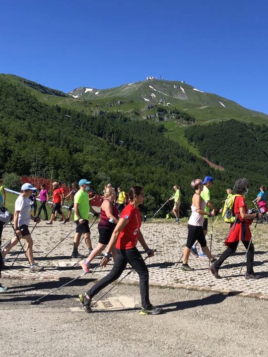
After a few metres, you come to the first hairpin bend in the road; it is in the middle of the bend that the trails lead into the forest: you need to follow the red and white CAI (Italian Alpine Club) signs indicating trails 400/4 and 444 to the right. Immediately after the first house you come to, take the dirt road which climbs up to the left, leading steeply into the forest; you will come to a large meadow surrounded by fir trees. Looking back down, on a clear day, you can enjoy beautiful views towards Mount Cimone, making this first short but intense climb worthwhile.
Towards the remains of the old fort
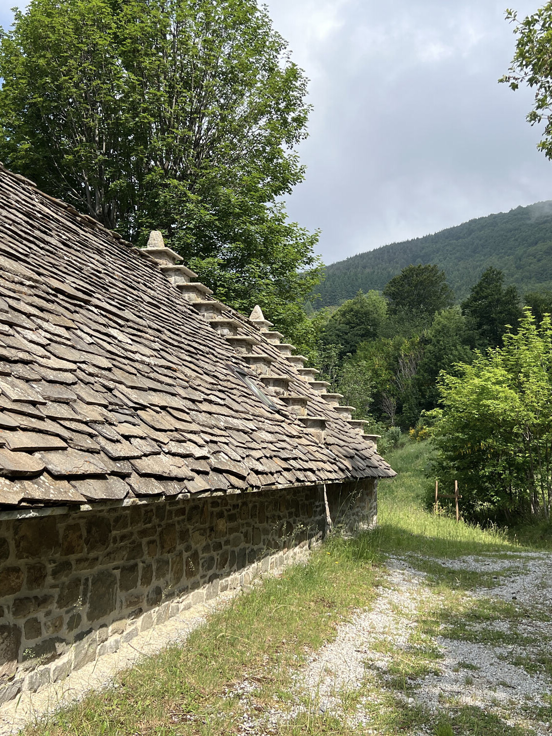
Continuing downwards after the field, the trail once again crosses Via Monteforte, which you need to follow for only 300 metres, as far as the junction for “MONTEFORTE”, trail no. 400/4. You will pass by stables and fields, up a small uphill stretch of cobbled road to the remains of the ancient castle. Standing in a mixed coniferous-deciduous forest are the almost forgotten remains of an ancient fortress that was once of great strategic importance. Of medieval origins, it was one of the most heavily-fortified forts under Modena, belonging to the Este family from 1340 and later to the Montecuccoli family. The fort was demolished and rebuilt several times, until it was finally destroyed in 1535, under the orders of the Este family, owners of the castle at that time. Today, traces of the outer walls are visible among the grass, as well as a stone doorway, a well and the oratory dedicated to San Rocco.
After visiting castle ruins, you need to go back to the access road taken previously, carrying on a few more metres along the 400/4; the route takes you behind a white house and then descends immediately to the left into a small wood (be careful not to continue straight on paths 444 or 446, which descend to the west!).
At the bottom of the descent (often very muddy if it has rained) there is an old washhouse dating from the 17th century, Ca’ Fontana. You can fill up with water here.
There are two uphill paths branching off from here: you need to take path 444, to the left, which will bring you straight back onto the tarmacked Via Monteforte, opposite the entrance to a farm, Fattoria La Fonte. Carry on slightly downhill along this tarmacked road for 100 metres, then take the path that climbs up into the fields in front of you (following the red and white signposts).
After a very short stretch out in the open, the path leads into the woods and, when you come to a fork in the path, keep to the left, staying on the path (the path to the right is private property) and into the woods; after 500 metres you come out of the woods, at the top of a plateau. This is the most difficult section of the route, and can be muddy in parts, especially in winter, as the path is also often used by agricultural machinery.
Following CAI path 444, you come to a three-storey house with red shutters; walking up the road leading to the house, you then take the tarmacked road – again Via Monteforte – in front of you, towards the left.
After three hundred metres on this tarmacked road, you come to the next fork in the road, with the final ascent to Monte Terminale (1,008 m). The path that climbs to the ‘summit’ is CAI path 442, and winds for 400 metres through a beautiful wood, until opening out onto a plateau where there is a small oratory, painted red and dating to the early 20th century.

At the top of Mount Terminale
The summit of Mount Terminale is surrounded by woodland and is therefore not a particularly good viewpoint, but it is here that the memory of the young men who lost their lives in the spring of 1945 is kept alive; on 3rd March, it was conquered by the men of the 85th regiment of the US 10th Mountain Division, and it is here, more than anywhere else, that their memory is felt. It is on this historic site, carefully looked after by volunteers from the Iola Museum, that you can see the reconstruction of a German observation post and communication trenches. This open-air exhibition, part of the collections of the Iola Museum, is clearly signposted and enriched with display boards.
Descent from the summit
The way down from the top of Mount Terminale is along the same path, but on the opposite side, and brings you to the village of Iola di Montese (MO). In the summer of 1944, the Germans had already taken possession of the village, looting and robbing from the houses; it was only on 3rd March 1945, after a hard-fought house-to-house struggle, that the village was the first of the villages under the vast municipality of Montese to be liberated.
On the opposite side of the road, next to the church, is the Iola Museum. It opened in 2011 and is housed in the rooms of the former rectory; inside there are two important permanent exhibitions: the ‘Memories of Italy’ collection and the ‘Cose Montesine’ (Things from Montese) collection.
The first collection consists of objects and weapons relating to the Second World War, which were used by the armies present in the area. The items on display, discovered over the last twenty years, are grouped together according to theme.
Before going back down towards Maserno, we recommend taking the tarmacked road, Via Monteforte, just after the main square, to the left. Walking slightly uphill, you come to a field where you can go inside the reconstruction of an air-raid shelter, placed in an isolated location and made of timber, stones and brushwood in order to camouflage it. As the Allied forces advanced during the winter of 1944/1945, aerial bombardment became another disturbing reality. Thanks to their knowledge of the mountainous terrain, the local population also found shelter in natural caves, ravines, sinkholes and even in the hollowed-out trunks of large trees.

Almost full-circle
To complete the circuit, once in the village of Iola, take Via Ballette, and carry on along the tarmacked road until just after the last house, where it gives way to a dirt road; here you can see a small mid-20th century roadside shrine: the Maestà delle Ballette.
You need to follow path no. 442, which leads down through the woods, steeply in places; although there are a few shortcuts available, we recommend sticking to the CAI signposted path if you are not familiar with the area (the area is also very popular for mountain biking as there are several MTB trails around).
You will come to a well sign-posted junction, where path 442 continues straight on to Montese, while the 442/a descends to the left towards “Sorgente I Tufi/Maserno”: you need to take the latter of the two, which leads to another oratory, the Oratorio dei Bicocchi. From here, you need to go down the tarmacked road towards the left; the road then continues uphill, leading to a small group of houses standing in a beautiful position at the foot of the hill; the path continues from here.
The road then widens and leads through chestnut and fir trees to the locality of ‘I Tufi’, where an old chestnut-drying shed, still in good condition, stands next to a spring and another roadside shrine, all named after the place they are located, i.e. “I Tufi”. There is also a picnic area, which makes a pleasant place to stop before setting off again.
Once back on the path, continue downhill until you come to the main road SP34-Via Lama: cross over the road and, after a few metres, towards the right, take the approach road to the holiday farm “Il Palazzino”, passing between the farm buildings until you get to a small path in the meadow that descends slightly to the left and leads into the woods: you need to take this path.
Following the path downhill alongside the stream – ignoring a fork to the right – and then going up the cobbled lane, in just over 500 metres you will be back at the car park where you left your car parked a few hours earlier (on the right).